
Loading…

The DJI Matrice 4E is a foldable enterprise drone for mapping, surveying and site inspection. Rent it in Sri Lanka to capture centimetre-accurate geospatial data from the air, with a professional pilot on request.
The DJI Matrice 4E is a compact, foldable enterprise mapping and surveying drone weighing about 1219 g.
It carries a triple-camera system built for precise geospatial work: a 20MP 4/3 CMOS wide camera with a mechanical shutter for distortion-free orthophotos, a 48MP medium telephoto and a 48MP telephoto for detailed zoom inspection from a safe stand-off distance.
A built-in laser rangefinder reaches up to 1800 m for accurate point targeting and geotagging.
With RTK it delivers 1 cm horizontal accuracy, so it can produce survey-grade outputs in many workflows without a dense ground-control network.
The DJI O4 Enterprise transmission system reaches up to 25 km in ideal conditions, so you can fly and monitor larger corridors and sites from one position.
Omnidirectional binocular vision supports obstacle sensing during automated flight plans, and a full battery gives up to 49 minutes of flight time, which means more coverage on each sortie and fewer swaps in the field.
It is designed from the ground up for aerial surveying, mapping, construction-site monitoring and high-accuracy geospatial capture, so it goes far beyond a consumer camera drone.
It is an enterprise tool that needs CAA Sri Lanka registration and survey or GIS know-how to plan the mission and process the data.
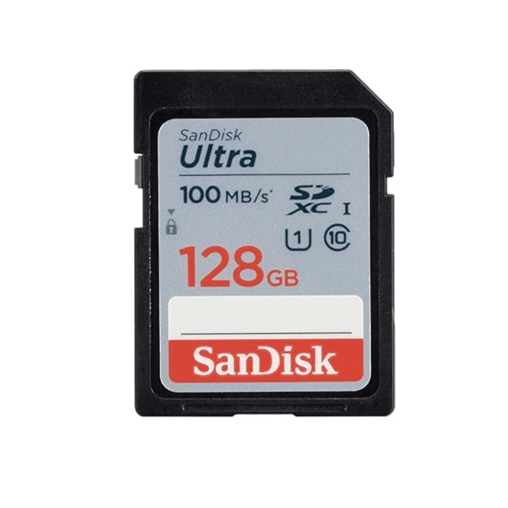
It is weather-resistant rather than waterproof, and a microSD memory card is not included, so bring your own. Rent it for a single project and skip the cost of owning an enterprise drone outright.
Coming Soon
Rs 60,000 / dayExpected rate once we add it to the fleet.
First customers on the waitlist get first pick when we acquire the unit.